
USAID SCHEP Collection
مجموعة البند
العناصر
-
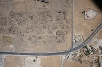
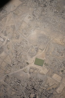
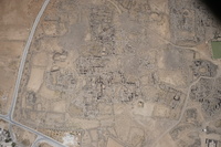
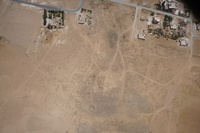
Jordan. Umm al Jimal, aerial view, southwest quadrant of site, bottom right corner is green dome of modern mosque
-
Jordan. Umm al Jimal, aerial view, southwest quadrant of site, bottom right corner is green dome of modern mosque
-
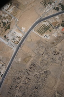
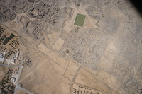
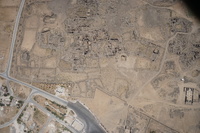
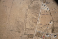
Jordan. Umm al Jimal, aerial view, western area of the site, Umm al Jimal Municipality offices
-
Jordan. Umm al Jimal, aerial view, west central part of the site with white caravans, at the top is the West Church
-
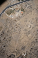
Jordan. Umm al Jimal, aerial view, Roman Reservoir is on the right side
-
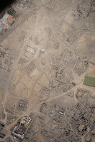
Jordan. Umm al Jimal, aerial view, center of Byzantine ruins, Roman Reservoir in center
-
Jordan. Umm al Jimal, aerial view, east side of site, Roman Reservoir in upper center, 3rd-4th century Roman fort at center
-
Jordan. Umm al Jimal, aerial view, east side of site, 3rd-4th century Roman fort in upper middle area, fields
-
Jordan. Umm al Jimal, aerial view, bottom right edge is a 3-4th century Roman fort, semicircular area in middle is apse of church
-
Jordan. Umm al Jimal, aerial view, northeast quadrant of site
-
Jordan. Umm al Jimal, aerial view, northwest quadrant of Byzantine site, on right hand side is the Cathedral
-
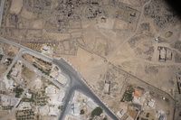
Jordan. Umm al Jimal, aerial view, town on the bottom left of site, flat area west of entry park, Commodus Gate in center
-
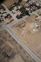
Jordan. Umm al Jimal, aerial photo featuring Umm al Jimal Municipality building in the top right corner, West Church in center, modern shops and school in bottom right corner
-
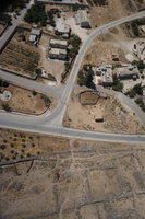
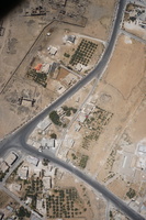
Jordan. Umm al Jimal, aerial view, open fields north of the site and houses from northern part of Umm al Jimal village
-
Jordan. Umm al Jimal, aerial view, western part of archaeological site, houses and playground of modern village
-
Jordan. Umm al Jimal, aerial view, Northwest Church in bottom left quadrant showing semicircular apse at the bottom
-
Jordan. Umm al Jimal, aerial view, at the bottom are two reservoirs: R26 in the middle and R25 on bottom left, next to the street are stones stacked during work to clear site
-
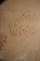
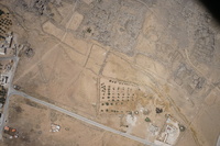
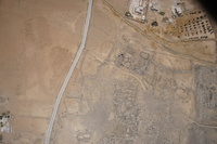
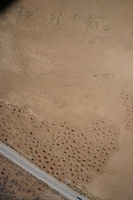
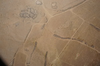
Jordan. Umm al Jimal, aerial image showing areas that have been looted
-
Jordan. Umm al Jimal, aerial image showing areas that have been looted
-
Jordan. Umm al Jimal, aerial view, ancient and modern farm fields and ancient animal corrals in countryside northeast of Umm al Jimal
-
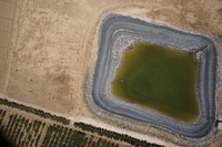
Jordan. Umm al Jimal, aerial view, farm to the northeast of village, classic irrigation reservoir used to irrigate trees seen in bottom of picture
-
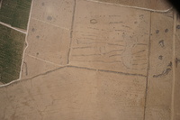
Jordan. Umm al Jimal, aerial view with ancient farmstead and animal corrals, occupation debris and gravel
-
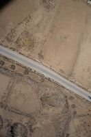
Jordan. Umm al Jimal, aerial view, far left is a modern orchard, the white lines are farm roads and the dark stone lines are ancient farm field divisions
-
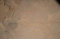
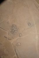
Jordan. Umm al Jimal, aerial view, the rings are animal pens, orange plastic covers fresh straw